As a React developer, there's a high probability that you've encountered scenarios where you needed to incorporate some form of visualization into your applications. This could be anything from simple graphs to complex interactive visuals. The question then arises - which library should you choose for
Welcome to an exhaustive list of over 30 data visualization libraries, frameworks, and applications. These tools span across a myriad of platforms and programming languages, providing you with the capability to present complex data in visually appealing and accessible ways.
These solutions cater to a wide range of needs, whether
Apache Superset™ is an open-source modern data exploration and visualization platform.
Sampler: Transform Any Shell Command into Stunning Visualizations
Before we start, it is important to add the following Disclaimer by the project creators.
Disclaimer for Google Maps Scraper Project
This Google Maps Scraper is provided for educational and research purposes only. By using this Google Maps Scraper, you agree to comply with local and international laws regarding data
What is a Visual Novel?
A visual novel is a storytelling medium that uses text, visuals, and audio to convey a narrative. They often involve player choices that can lead to different story outcomes, similar to "choose your own adventure" books.
Usage of a Visual Novel
In education,
Lathraea Rhodopaea is a powerful C++ console application specifically designed for efficiently managing a wide range of historical events. With this application, users can effortlessly add, remove, edit, and visualize historical events, storylines, and users.
The program offers a user-friendly and intuitive interface, making it the ultimate tool for organizing
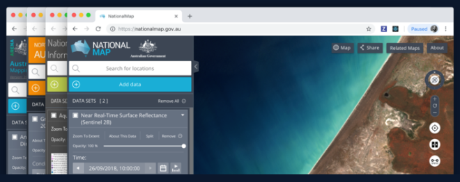
For the sales manager, organized traveler or efficient mother, interactive maps software has become an equally fundamental tool to add to your arsenal. At a very basic level, it offers a user-friendly means to navigate location data, enabling users to zoom in and out, alter map types, and access diverse
In this tutorial, we will explore how to use Pandas to visualize data. We will cover various techniques and code snippets to create insightful visualizations. Let's dive in!
1- Import the necessary libraries:
import pandas as pd
import matplotlib.pyplot as plt
2- Load the data into a
Mind mapping software is a tool that allows users to visually organize their thoughts, ideas, and information in a hierarchical and interconnected manner. It is based on the concept of mind maps, which are graphical representations of concepts or ideas linked together by branches. Mind maps typically start with a