GeoServer GeoServer is an Open-source Geospatial Server

What is GeoServer?
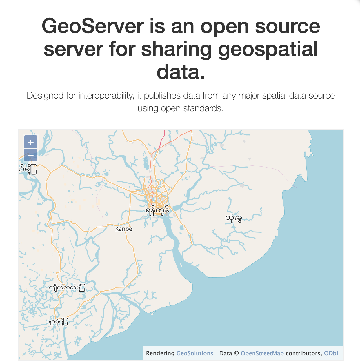
GeoServer is an open source software server written in Java that allows users to share and edit geospatial data. Designed for interoperability, it publishes data from any major spatial data source using open standards.
Being a community-driven project, GeoServer is developed, tested, and supported by a diverse group of individuals and organizations from around the world.
GeoServer is the reference implementation of the Open Geospatial Consortium (OGC) Web Feature Service (WFS) and Web Coverage Service (WCS) standards, as well as a high performance certified compliant Web Map Service (WMS), compliant Catalog Service for the Web (CSW) and implementing Web Processing Service (WPS). GeoServer forms a core component of the Geospatial Web.
License
The GeoServer project is released under the GPL License and other licenses.