OSMnx: Analyze and Visualize Street Networks with Python and OpenStreetMap
OSMnx: Python for street networks. Retrieve, model, analyze, and visualize street networks and other spatial data from OpenStreetMap.

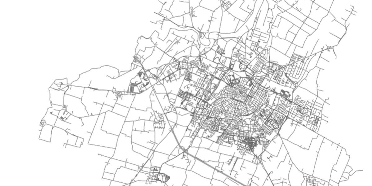
OSMnx is a Python package that lets you download geospatial data from OpenStreetMap and model, project, visualize, and analyze real-world street networks and any other geospatial geometries.
You can download and model walkable, drivable, or bikeable urban networks with a single line of Python code then easily analyze and visualize them. You can just as easily download and work with other infrastructure types, amenities/points of interest, building footprints, elevation data, street bearings/orientations, and speed/travel time.
Features
OSMnx is built on top of GeoPandas, NetworkX, and matplotlib and interacts with OpenStreetMap's APIs to:
- Download and model street networks or other networked infrastructure anywhere in the world with a single line of code
- Download any other spatial geometries, place boundaries, building footprints, or points of interest as a GeoDataFrame
- Download by city name, polygon, bounding box, or point/address + network distance
- Download drivable, walkable, bikeable, or all street networks
- Download node elevations and calculate edge grades (inclines)
- Impute missing speeds and calculate graph edge travel times
- Simplify and correct the network's topology to clean-up nodes and consolidate intersections
- Fast map-matching of points, routes, or trajectories to the nearest graph edges or nodes
- Save networks to disk as shapefiles, GeoPackages, and GraphML
- Save/load street network to/from a local .osm XML file
- Conduct topological and spatial analyses to automatically calculate dozens of indicators
- Calculate and visualize street bearings and orientations
- Calculate and visualize shortest-path routes that minimize distance, travel time, elevation, etc
- Visualize street networks as a static map or interactive Leaflet web map
- Visualize travel distance and travel time with isoline and isochrone maps
- Plot figure-ground diagrams of street networks and building footprints
- Dozens of examples
- Developer-friendly documentations
License
- MSMnx is a free open-source software that is released under the MIT License.