Navit: Offline Navigation System for Android and Windows
The open source (GPL v2) turn-by-turn navigation software for many OS

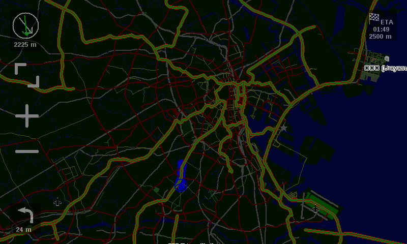
Table of Content
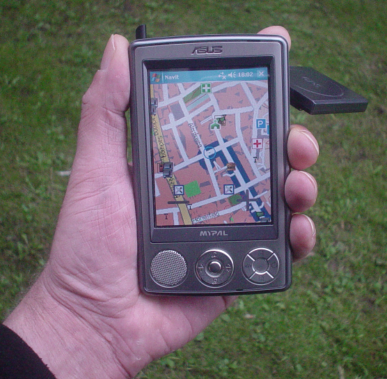
Navit is an open-source free car navigation system for Android and Windows devices that support offline maps. It comes with a vector maps with many formats for routing and rendering.
It currently supports 49 languages, can run on various platforms.
Navit's modular design is capable of using vector maps of various formats for routing and rendering of the displayed map. It's even possible to use multiple maps at a time
The current vehicle position is either read from gpsd or directly from NMEA GPS sensors.
The GTK+ or SDL user interfaces are designed to work well with touch screen displays. Points of Interest of various formats are displayed on the map.
How Navit reads your current position?
Navit reads the current vehicle position:
- directly from a file or port
- from gpsd (local or remote)
- from the location service of several mobile platforms
- from udp server (friends tracking) (experimental)
Supported platforms
- Linux
- Windows
- Android
- OpenMoko Freerunner
- Wince
- Nokia n800 Internet tables
- iPhone
- Zaurus
Download and install Navit
License
Navit is written in the C programming language and it is released under the GPL-2.0 (Only) License.