While we depend on technology so much, we also count on our internet connection, but what if we are doing certain outdoor activity in remote areas with bad or worse no connection.
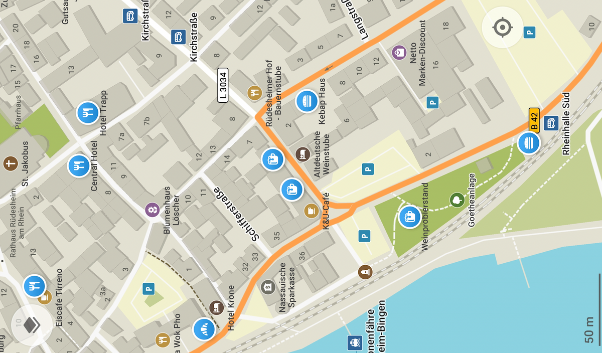
The idea solution for navigation is to use offline maps applications, that provide a browsable high resolution maps already downloaded at your phone.
Google Maps app offer a downloadable maps for location you select which you can use without the need of any online connection.
However, some may argue about privacy of using Google Maps, so here is the right free alternative that really does not contain tracking or third-party scripts, It is Organic Maps.
In contrast, Organic Maps is a free Android & iOS offline maps app for travelers, tourists, hikers, and cyclists. It uses crowdsourced OpenStreetMap data and is developed with love by MapsWithMe (MapsMe) founders and our community.
Audience
Built for:
- Cyclists
- Hikers
- Tourists
- Travelers
- Explorers
Features
- High resolution maps
- Detailed offline maps with places that don't exist on other maps, thanks to OpenStreetMap
- Comes with an astronomical clock
- Easily set your training or trip tracks
- Cycling routes, hiking trails, and walking paths
- Contour lines, elevation profiles, peaks, and slopes
- Turn-by-turn walking, cycling, and car navigation with voice guidance
- Fast offline search on the map
- Bookmarks export and import in KML/KMZ formats (GPX is planned)
- Dark Mode to protect your eyes
- Countries and regions don't take a lot of space
- Access location in the foreground
- Automatically downloads map updates
- Access precise approximate location
- Allows user to use biometric hardware
- Automatically recognize physical activity
- Pair with Bluetooth devices
- Automatically run at startup
- Free and open-source
Organic Maps cares about your Privacy
The project developers were keen to create a project without any invasion of your privacy like other map apps.
Organic maps application comes with:
- No ads
- No tracking
- No data collection
- No phoning home
- No annoying registration
- No mandatory tutorials
- No noisy email spam
- No push notifications
- No crapware
Download
- iOS for iPhone and iPad
- Android: Google Play
- Android: F-Droid
- Huawei App Gallery
License
Organic maps app is released under the Apache-2.0 License. It is written primary in the C++ language
Resources
Related Articles in maps
This is a small lightweight Python + JavaScript project that enables you to scrap Google Map leads in almost no time.
Features
1. Scrape up to 1200 Google Map Leads in just 25 minutes, providing you with an extensive pool of potential customers to drive sales.
2. Access 30 Data Points,
Raven - Advanced Cyber Threat Map (Simplified, customizable and responsive. It uses D3.js with TOPO JSON, has 247 countries, ~100,000 cities, and can be used in an isolated environment without external lookups!.
Inkscape is a Free and open source vector graphics editor for GNU/Linux, Windows and macOS. It offers a rich set of features and is widely used for both artistic and technical illustrations such as cartoons, clip art, logos, typography, diagramming and flowcharting. It uses vector graphics to allow for
Takes 2D GIS datasets (e.g. topographical datasets) and "3dfies" them (as in "making them three-dimensional") by lifting every polygon to 3D. The elevation is obtained from a point cloud (we support LAS/LAZ at this moment), and the semantics of every polygon is used to perform the lifting. That
OpenSCAD is a software for creating solid 3D CAD objects. It is free software and available for Linux/UNIX, MS Windows and macOS.
Unlike most free software for creating 3D models (such as the famous application Blender), OpenSCAD focuses on the CAD aspects rather than the artistic aspects of 3D
Advanced Cyber Threat Map (Simplified, customizable, responsive and optimized)
QuakeFeed is a lightweight free iOS app that notify and alert users with earthquakes. It uses multiple sources, uses an interactive map, and contains a historical data back to 1900.
With its latest update, the app also supports wildfires, hurricanes, and erupting volcanoes.
Features
1. Simple clutter-free interface
2. Browse
Create beautiful SVG maps in react with d3-geo and topojson using a declarative api.
Bike Router is an interactive open-source map app that can help you plan your cycling trips. It allows you to set the start point, end point and several mid-points for your trip.
It calculates and display the path, distance, and routes on a map and a visual graph.
The project
Designing maps might seem easy, but it is not, especially when many tools require certain levels of technical knowledge. A good map design can promote your presentation, website, and increase your work exposure.
Data scientists, business analysts, marketeers, advertisers, and many other professions require map design in their daily work.