QuakeFeed: The Best Earthquake Alerts App for iPhone and iPad


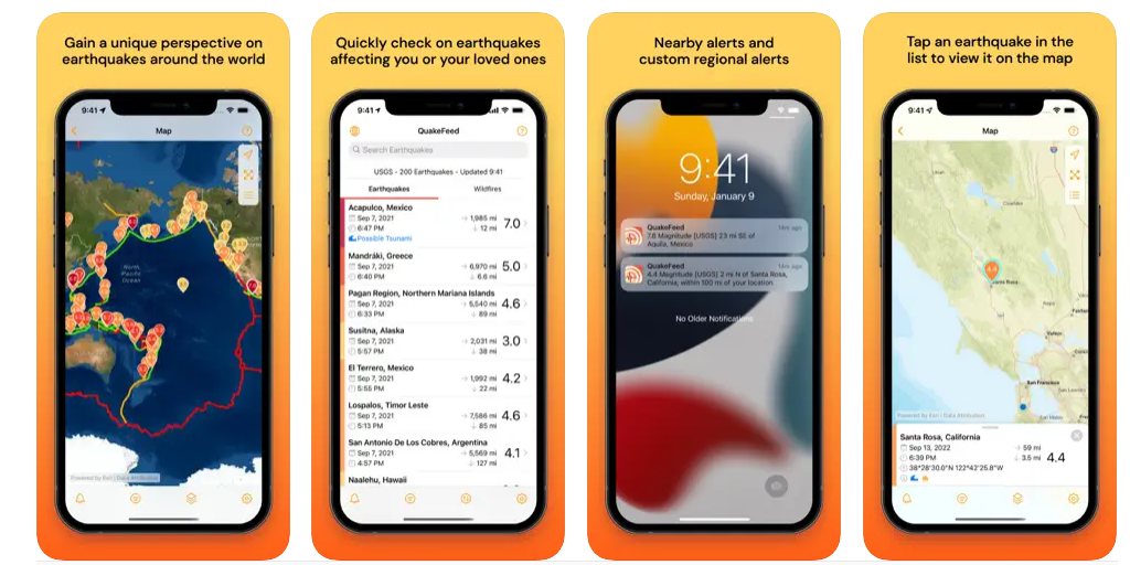
QuakeFeed is a lightweight free iOS app that notify and alert users with earthquakes. It uses multiple sources, uses an interactive map, and contains a historical data back to 1900.
With its latest update, the app also supports wildfires, hurricanes, and erupting volcanoes.
Features
- Simple clutter-free interface
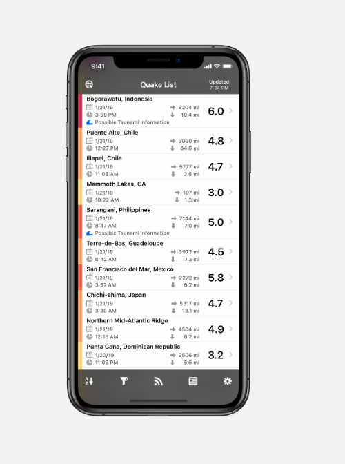
- Browse quakes with time, location, dates, magnitude, range, and more
- Free Nearby alerts and regional alerts
- Visual map to visualize all events
- Additional map layer to visualize Faults, MMI Contours, Wildfires, Hurricanes, and Erupting Volcanoes
- Works on iPhone and iPad.