GeoServer: Open-Source Geospatial Server


Table of Content
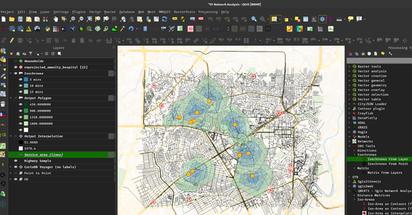
GeoServer is an open-source server that allows users to share, process, and edit geospatial data. Built on Java, it is designed to publish data from any major spatial data source using open standards. GeoServer plays a vital role in the management of geospatial data and is widely used in various industries.
It is a versatile and powerful tool for managing and sharing geospatial data. Its open-source nature, coupled with a wide range of features and support for various industries, makes it an essential tool for organizations working with geospatial data.
Use-cases
- Environmental Monitoring: GeoServer is utilized to manage and share environmental data, such as monitoring water quality, tracking wildlife habitats, and managing natural resources.
- Urban Planning: Cities use GeoServer to manage spatial data for urban planning, including zoning, infrastructure development, and public transportation mapping.
- Disaster Management: GeoServer helps in disaster management by providing real-time data on natural disasters like floods, earthquakes, and hurricanes, aiding in emergency response and recovery planning.
- Agriculture: In agriculture, GeoServer is used to analyze spatial data for crop management, soil analysis, and monitoring weather conditions.
- Telecommunications: Telecom companies use GeoServer to manage and visualize network infrastructure, optimize service delivery, and plan future network expansions.
- Government Services: Government agencies leverage GeoServer for public services like land registration, census data management, and public health monitoring.
Primary Users
- Environmental Agencies: To monitor and manage environmental data.
- Urban Planners: For city planning and infrastructure management.
- Disaster Management Organizations: For real-time disaster monitoring and response.
- Agricultural Firms: To optimize crop production and manage farmland.
- Telecom Companies: For network planning and management.
- Government Agencies: For public service delivery and resource management.
Features
- Data Formats Support: GeoServer supports a wide range of data formats, including PostGIS, Oracle Spatial, Shapefiles, GeoTIFF, and more.
- Open Standards: It uses open standards such as Web Map Service (WMS), Web Feature Service (WFS), and Web Coverage Service (WCS) for data sharing.
- Styling: GeoServer provides powerful styling options through Styled Layer Descriptor (SLD) and CSS-based styling, enabling users to customize the visual representation of their geospatial data.
- Scalability: GeoServer is scalable and can handle large datasets and high volumes of requests, making it suitable for both small and large organizations.
- Integration: It can be easily integrated with other GIS tools like QGIS, Google Earth, and ArcGIS, providing a flexible environment for geospatial data management.
- Security: GeoServer offers robust security features, including role-based access control and integration with external authentication systems.
License (Open-source)
GeoServer is licensed under the GNU General Public License (GPL) version 2.
This open-source license allows users to freely use, modify, and distribute GeoServer, provided that any derivative work is also distributed under the same license.
Resources & Downloads
 geoserver